
ARTICLE AD BOX
Western North Carolina is again being targeted by hazardous rainfall that forecasters say is expected to lead to its “first noteworthy flood threat” since last September’s deadly Hurricane Helene.
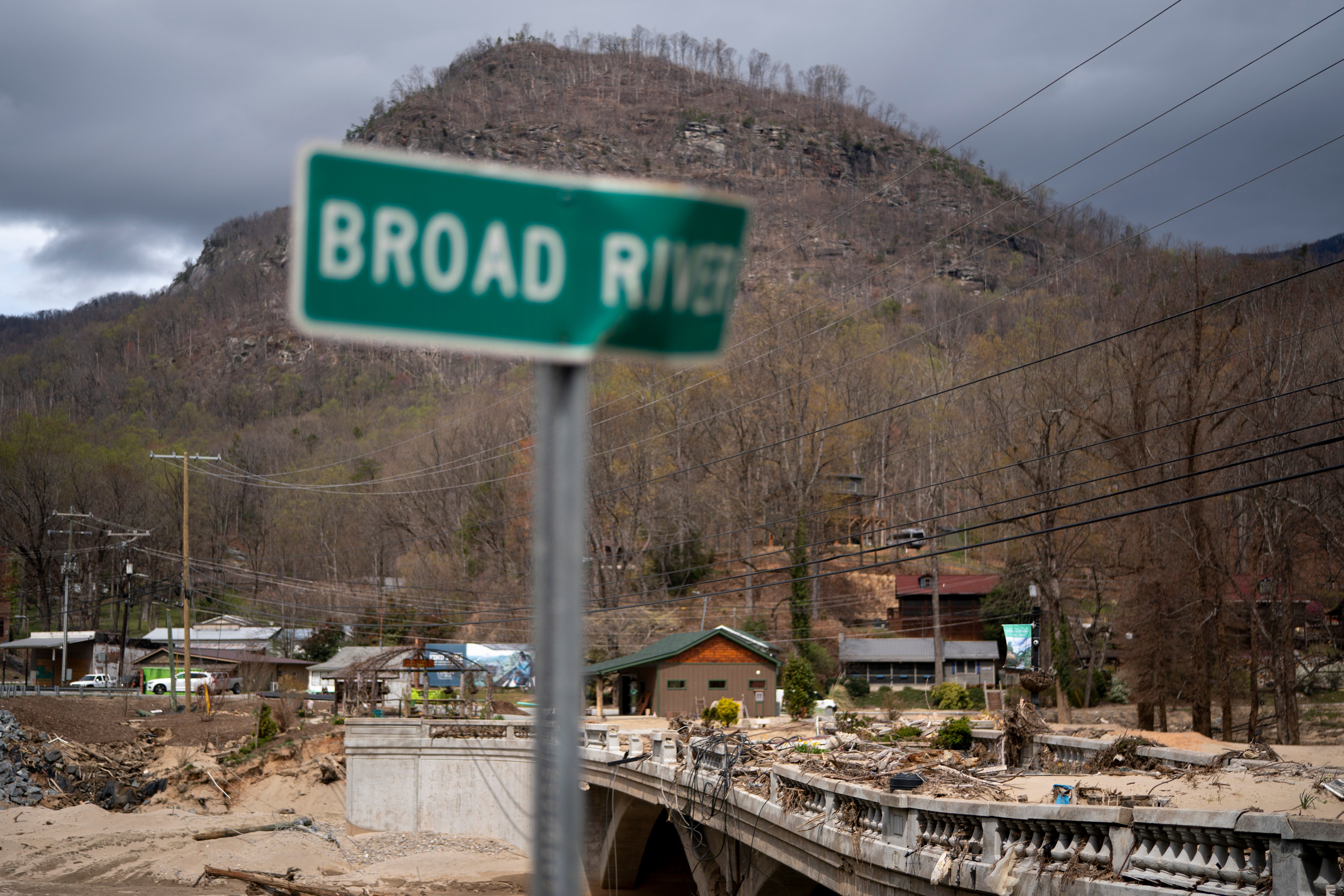
The Southeast state, which has been recently charred by weeks-long, wind-driven wildfires and pounding rain, has continued to pick up the pieces in months since the storm left communities flooded with muddy, brown water and resulted in the deaths of more than 100 people.
This storm is not anticipated to be anywhere near the magnitude of Helene, but “it is the first noteworthy flooding threat in the area since Helene according to the National Weather Service,” Mitchell County told residents.
The slow-moving low-pressure system is projected to bring showers and thunderstorms, including the potential for isolated tornadoes on Monday afternoon and into the evening.
A flood watch is in effect near the Blue Ridge Encampment into Tuesday morning, according to the National Weather Service. Another flood watch was issued through early Tuesday in central North Carolina, bringing rainfall totals of two to four inches. Northeast South Carolina is set to get one to three inches by Tuesday.

Mitchell County, which borders Tennessee, is about an hour from the hard-hit Buncombe County, said three to five inches of rain were possible there, with some other areas “getting as much as six to ten inches in a 24-hour period.”
The rain could continue through Wednesday evening, but a slight chance of showers resumes on Thursday, according to The Asheville Citizen-Times. There might be more over the weekend.
"The potential for flash flooding, even landslides, being mentioned by the National Weather Service office, there’s a lot of concern for these communities," FOX Weather Meteorologist Britta Merwin said.
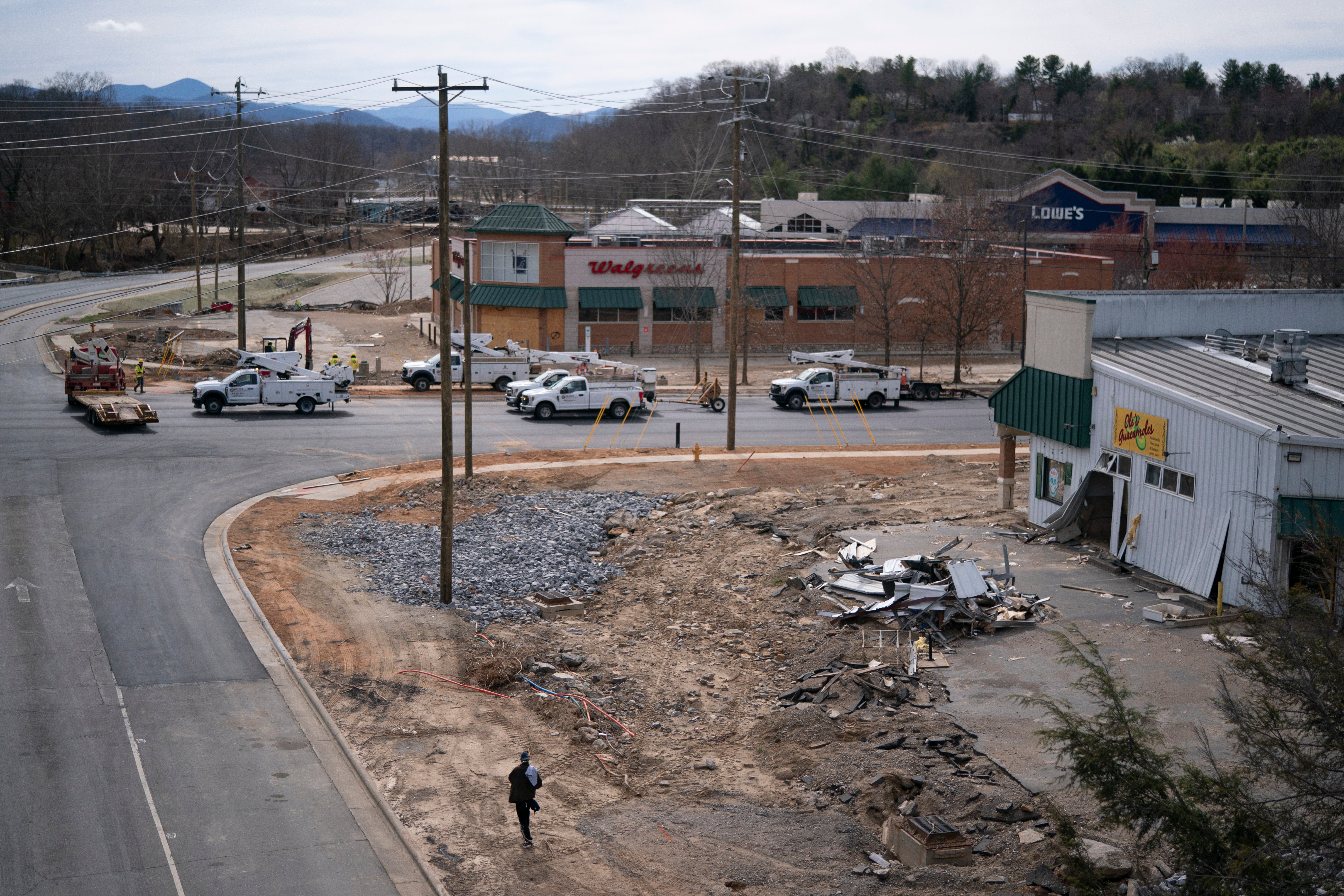
The landslides and flooding could impact Helene clean-up in the coming days. The efforts have been ongoing for months, with roads still closed months later.
"It is eight months since Hurricane Helene just devastated parts of our country," Merwin said. "You think about western North Carolina, eastern Tennessee, just changed forever. They are still recovering. But, with today’s flash flood threat, the recovery process could become more complicated."


 English (US) ·