
ARTICLE AD BOX
Parts of the UK are set to be hit by rain showers this week after the driest spring so far in more than 50 years.
Western areas of England and parts of Northern Ireland, Scotland and Wales were warmer than Ibiza over the weekend, and the Environment Agency warned there is a risk of drought this summer without sustained rainfall.
Millions of households may face restrictions on water use in the coming months due to the dry spell.
As of Friday, 80.6mm of rain had been recorded for the UK this spring - nearly 20mm less than the record low for the full season of 100.7mm set in 1852.
But Met Office meteorologist Dan Stroud said there will be a “few scattered showers developing across the North during the course of Monday afternoon” despite sunny spells developing widely across the West.
One or two of these showers could be heavy and potentially thundery, the Met Office said.
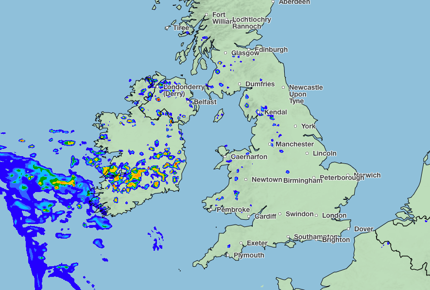
There is an increasing chance of showers from Tuesday onwards in southern parts of England, he added.
The meteorologist said weather across the UK this season has been “remarkably dry up until now”.
He added: “It’s been a remarkably dry start to spring, and also a remarkably dry start to May. The final week of May, the half-term week, is looking increasingly changeable, with areas of cloud and rain arriving from the West.”
Mr Stroud said Tuesday would see “occasional heavy and potentially thundery showers developing across parts of Wales and the Midlands, with one or two of those breaching into London”.
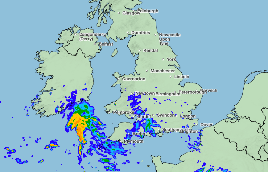
On Wednesday, it will be a chilly start across England and Wales with plenty of sunshine to kick the day off.
But showers will develop across England and Wales, with some rain, potentially heavy and thundery, coming into London.
However, it will likely become dry and sunny again on Thursday and Friday “with good deals of sunshine for much of the country”, he said.
The Met Office said high pressure has caused prolonged warm and very dry spells this spring.


 English (US) ·